Korea Mountain Public Transport: Hike Car-Free by Train & Bus
목차
- Quick Takeaways
- Why Go Car-Free in Korea’s Mountains?
- An Overview of Hiking in Korea by Public Transport
- City to Trailhead in Three Steps
- Reaching Major Peaks by Train and Express Bus
- Connecting Buses and Shuttles: All the Way to the Trailhead
- How to Get There: Bukhansan, Seoraksan, and Jirisan
- Mastering Public Transport with Your Smartphone
- Timetable Traps: Dodging the Last Bus and the Crowds
- Lodging and Route Optimization for Car-Free Travelers
- Frequently Asked Questions (FAQ)
Quick Takeaways
- Korea’s public transport network for mountains is more extensive than you’d expect. By combining the subway, intercity buses, and KTX, you can reach most trailheads without ever renting a car.
- Think of your journey in three steps: travel between cities via KTX or express bus, get to the mountain town using an intercity or local bus, and then take a shuttle or village bus to the actual trailhead.
- Prepare a few essentials in advance—Naver Map or KakaoMap, a T-money card, and a bus-booking app—and even a first-time visitor can navigate the system smoothly.
Can you really go hiking in Korea by public transport, without renting a car? Absolutely. The public transit network is surprisingly comprehensive, allowing even car-free travelers to stand on the summit. This guide will walk you through which station to use, which bus to catch, and how to check the last departure time. If you want a broader overview of mountain travel first, check out our complete pillar guide to Korean mountain trekking.

Why Go Car-Free in Korea’s Mountains?
In Korea, cities and mountains are often in close proximity, making it possible to leave in the morning for a full day hike and be back by evening, all without a car. With no driving to worry about, you can relax, enjoy the scenery, and arrive at the trailhead refreshed and ready to go.
Surprisingly Convenient Access
In Seoul alone, you can reach the Bukhansan trailhead almost directly by subway. For mountains in other provinces, you can take a KTX train or an express bus to the nearest city and then transfer to a local bus. No driver’s license or international permit required.
A More Sustainable Choice
Public transport significantly reduces your carbon footprint, making it a more eco-friendly way to travel. Trailhead parking lots are often full on weekends, so driving can cost you more time, not less. Trains and buses help you avoid the congestion—a perfect fit for those who love and respect the mountains.
An Overview of Hiking in Korea by Public Transport
Here’s a quick reference table for reaching major peaks from Seoul. Travel times can vary with transfers and traffic, so it’s always wise to double-check your route on a map app before you depart.
| Mountain | Route from Seoul | Trailhead Stop |
|---|---|---|
| Bukhansan | ~1 hour by subway | Bukhansanseong Entrance, Gupabal Station |
| Seoraksan | ~2.5 hours by express bus | Seorak Sogongwon, transfer at Sokcho terminal |
| Jirisan | ~4 hours by KTX + bus | Baekmudong, transfer at Gurye-gu Station |
| Hallasan | Flight, then city bus | Seongpanak, Eorimok |
These times are approximate and can change depending on the season and day of the week. Mountains closer to the city, like Bukhansan, require minimal transfers, while more remote mountains will involve more changes.
City to Trailhead in Three Steps
Navigating Korea’s mountain public transport becomes much simpler when you break it down into three stages. Keep this process in mind, and even unfamiliar mountains will feel accessible.
Step 1: City to City
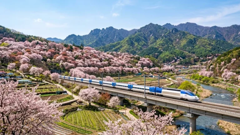
First, take a KTX train or an express bus to the main city near your destination mountain. KTX is the fastest option, while an express bus might get you to a terminal closer to the mountain. For a peak like Jirisan, which is far from any KTX station, you’ll likely need to combine both train and bus travel.
Step 2: To the Mountain Village
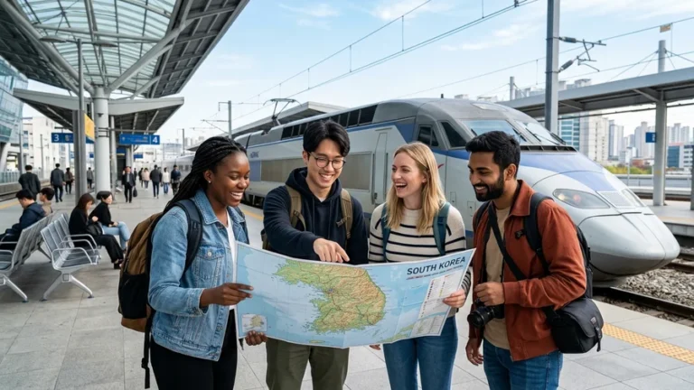
Once you arrive in the hub city, take an intercity or local bus to the village at the base of the mountain. You can ask for directions at the terminal information desk by saying, “Going to [Mountain Name] mountain,” and they will direct you to the correct platform. Be aware that many terminals have separate platforms for intercity and local buses, so always check the signs carefully.
Step 3: To the Trailhead
The final leg of your journey is typically a national park shuttle or a village bus that takes you to the trail entrance. These services can be infrequent, and the last bus often runs early, so this part of your trip requires the most careful planning.
Hyejin’s Checklist
Always plan your trip by working backward from the last bus in Step 3. Missing the final bus from the trailhead can leave you stranded, as taxis are often scarce. Plan to finish your descent at least 30 minutes before the final bus departure for peace of mind.

Reaching Major Peaks by Train and Express Bus
City-to-city travel primarily relies on KTX trains and express buses. Foreign visitors can easily purchase tickets for both using apps or at station counters. If you’re planning routes through national parks, be sure to factor public transport access into your national park trekking plan.
Using KORAIL’s KTX
The KTX is Korea’s high-speed train, connecting Seoul to provincial hubs in just two to three hours. It’s wise to book your seat in advance, especially for weekends and holidays, as they sell out quickly. You can find KTX booking information on the KORAIL website.
Remember that KTX stations are often located far from the mountains themselves. For Jirisan, for example, you’ll need to get off at Gurye-gu Station and then take a lengthy bus ride. Don’t assume you’ve arrived just because the station name sounds familiar.
Booking Express Bus Tickets
Express buses are a great alternative when KTX routes don’t serve the mountain areas directly. To reach Seoraksan, the most straightforward option is to take a bus to Sokcho from Seoul’s Dong Seoul Bus Terminal. By using a bus app that supports English, you can manage your seat selection and payment entirely in English.
- Book a few days ahead to secure your preferred time slot.
- Use the exact English spelling of your name as it appears on your passport to avoid issues during ticket checks.
- Early morning and late-night buses have limited availability, so opt for a more relaxed schedule instead of an aggressive one.
Connecting Buses and Shuttles: All the Way to the Trailhead
The final connection from the station or terminal to the trailhead is the last piece of the puzzle. Getting this part right ensures you start your hike without any hassle.
National Park Shuttle Buses
Many major national parks operate shuttle buses from parking lots or village centers to the trail entrance. Schedules and frequency change with the seasons and days of the week, so check the posted timetable at the bus stop on the day of your hike. During peak seasons, like the autumn foliage period, you may have to wait for the next bus due to crowds.
Local City Bus Routes
If a shuttle isn’t available, a local city bus will often serve the trailhead. Rural bus routes may run only a few times a day, so it’s a good idea to take a photo of the timetable. It’s helpful to ask the driver to let you know when your stop is approaching. A simple ‘thank you’ — Kamsahamnida — goes a long way.

How to Get There: Bukhansan, Seoraksan, and Jirisan
Let’s walk through the actual routes for three of Korea’s most iconic peaks. Following these steps will help you travel with confidence.
Getting to Bukhansan (by Subway)
Located right in Seoul, Bukhansan is the most accessible mountain for car-free travelers, reachable via a single subway line. Take Line 3 to Gupabal Station, transfer to a local bus, and you’ll arrive at the Bukhansanseong Entrance trailhead. You can be on a forest path within an hour of leaving the city center, making it a perfect warm-up hike for your first day in Korea.
Getting to Seoraksan (Dong Seoul to Sokcho)
The standard route to Seoraksan is via the express bus to Sokcho from the Dong Seoul Bus Terminal. From Sokcho, transfer to a city bus heading towards the Seorak Sogongwon entrance. Since there’s a transfer, it’s helpful to note down the bus number for the Seoraksan-bound route at the Sokcho terminal.
Getting to Jirisan (Gurye or Baekmudong)
Stretching across South Gyeongsang and South Jeolla provinces, Jirisan has multiple trailheads. For Cheonwangbong Peak, start from Baekmudong. For Nogodan and Hwaeomsa Temple, start from Gurye. The common routes are taking the KTX to Gurye-gu Station and transferring to a bus, or taking a direct bus to Baekmudong from Seoul’s Nambu Terminal. The journey is long—often taking up half a day—so an overnight stay is much more practical than a day trip.
Mastering Public Transport with Your Smartphone
A couple of essential apps will make navigating Korea’s mountain public transport a breeze. Install them before your trip to avoid getting lost.
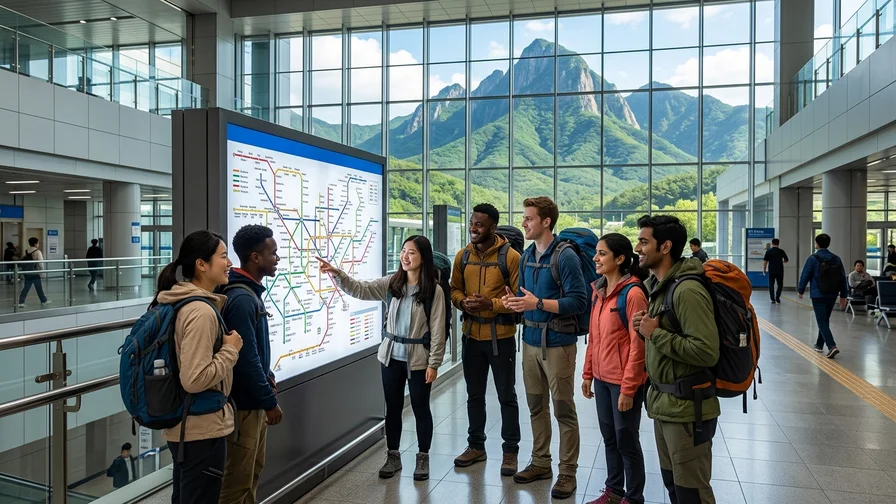
Using KakaoMap and Naver Map
Google Maps offers limited walking and transit directions in Korea, so locals rely on KakaoMap and Naver Map. Both apps support English and provide real-time bus arrival information. They also handle English searches well, so you can type in the mountain’s name, save the route, and start your journey with ease.
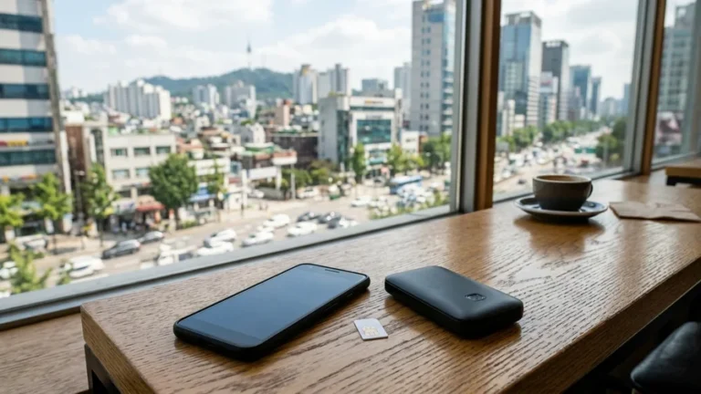
Using T-money and Cashbee
Transit cards like T-money and Cashbee are available at convenience stores and can be topped up with cash. A single card works for both subways and buses and offers transfer discounts, saving you the hassle of using coins. While rural buses accept these cards, top-up locations can be scarce, so be sure to load your card with enough credit before leaving the city.
- Purchase a card at a convenience store, load it with cash, and start using it immediately.
- Transfer discounts are applied automatically when you switch from the subway to a bus within the designated time frame.
- You can get a refund for the remaining balance at select convenience stores, so check before you leave the country.
Timetable Traps: Dodging the Last Bus and the Crowds
Timetables are a common challenge for foreign travelers using public transport in Korea’s mountains. Relying on city schedules can leave you stranded.
- Village buses and shuttles to trailheads often have early last departures. Plan your descent based on the final bus time to stay safe.
- Rural routes can have gaps of one to two hours between buses, so missing one can disrupt your entire day’s schedule.
- On weekends and during peak foliage season, buses can be full and may pass your stop. Travel on a weekday or start your day early to avoid this.
- Don’t forget to check the last intercity bus schedule back to the terminal to ensure a smooth return to the city.
If you do miss the last bus, don’t panic. Check KakaoMap in advance to see if taxis are available in the area so you have a backup plan.

Lodging and Route Optimization for Car-Free Travelers
Don’t just focus on the journey; consider where you’ll rest as well. Planning your route efficiently will save you both time and energy.
- Staying near a central bus terminal or KTX station makes it easy to catch the first bus in the morning for an early start on your hike.
- For distant mountains where a day trip is not feasible, consider staying in a village at the base and starting your climb at dawn.
- After your hike, have a quick meal at a nearby restaurant while keeping the last bus schedule in mind to avoid a complicated return journey.
To ensure you’re well-prepared, consult our mountain trekking gear checklist. For post-hike recovery ideas, our post-trek wellness guide offers great suggestions to complete your trip.
Frequently Asked Questions (FAQ)
Can I reach Korean mountains without an international driving permit?
Yes, absolutely. By combining the subway, intercity buses, and KTX, you can reach most mountain trailheads without needing to drive.
Where do I buy a transit card?
You can purchase a T-money or Cashbee card at any convenience store and top it up with cash. The same card works for both subways and buses, and includes transfer discounts.
What if I miss the last bus?
First, check KakaoMap to see if taxis are available in the area. Taxis can be rare in remote mountain regions, so the safest approach is to plan your descent to finish at least 30 minutes before the last scheduled bus.
Can foreigners book intercity buses in English?
Yes, several bus-booking apps support English, allowing you to handle seat selection and payment easily. Be sure to book using the exact name on your passport to ensure a smooth check-in process.
This guide covers the essentials of getting around Korea’s mountains without a car. Stick to these tips, and you’ll navigate like a pro from day one. Before you head out, double-check your route and last-bus times in KakaoMap, and book your KORAIL and bus tickets in advance. For a complete overview of the hiking experience, refer to the beginner’s guide to Korean mountain trekking, and find more tips at Come On Korea.
Related reads in this series
- Hiking in Korea: A Guide to 5 Incredible Peaks from Bukhansan to Hallasan
- Bukhansan Hiking by Subway: 3 Routes to Baegundae (836m)
- Seoraksan Hiking from Sokcho: Ulsanbawi & Daecheongbong
- Korea National Parks: Reservations, Closures & Shelters Before You Hike
- Post-Hike Recovery in Korea: Hot Springs, Saunas & Food
- Jirisan Hiking: Nogodan to Cheonwangbong, Routes & Access
- Hallasan Hiking: Reach Baengnokdam via Seongpanak & Gwaneumsa
- Naejangsan Autumn Hiking: Seoraebong & Sinseonbong by Train