Baekdudaegan Mountain Range, Korea’s Spine and One Hike
목차
- The Quick Version
- What the Baekdudaegan Mountain Range Actually Is
- The Baekdudaegan Mountain Range at a Glance
- Sangyeongpyo and Sanjabunsuryeong, Korea’s Own Way of Reading Mountains
- The Famous Peaks Along the Baekdudaegan Mountain Range
- Why the Mountain Passes (Ryeong and Jae) Matter
- How Foreigners Can Actually Experience the Baekdudaegan Mountain Range
- Good to Know: Protected Areas, Thru-Hiking, and Safety
- Frequently Asked Questions
The Quick Version
- The Baekdudaegan mountain range is the single biggest ridge running north to south across the Korean peninsula, roughly 1,400 km in total, with about 700 km of it walkable inside South Korea.
- What makes it special is a uniquely Korean way of reading mountains — the ridge itself is a watershed divide, so this is one continuous spine you can actually walk on foot, not the geology-based “mountain range” idea borrowed from Japan.
- The full thru-hike is a 40-to-50-day expedition that just isn’t realistic for most travelers, so we’d point you toward walking one section of a famous peak on the ridge — Jirisan, Seoraksan, or Sobaeksan — as a day trip or one overnight.
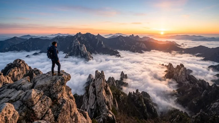
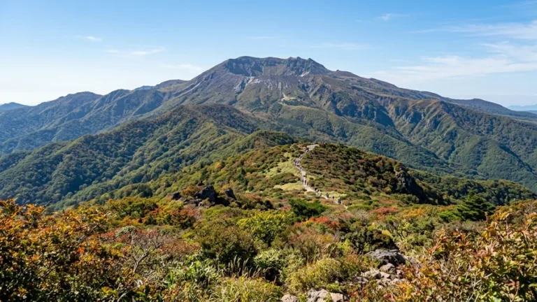
When you first land in Korea, it’s tempting to ask “so what’s the biggest mountain here?” — but Koreans don’t think of one mountain first. They picture the Baekdudaegan mountain range, a huge ridge that works like the country’s backbone. Most of Korea’s famous peaks hang off this spine or its side branches. In this guide we’ll walk you through what the Baekdudaegan mountain range actually is, why it’s genuinely fascinating even for first-time visitors, and how you can realistically hike just one section instead of attempting the whole thing — with the access and route logistics laid out plainly.
What the Baekdudaegan Mountain Range Actually Is
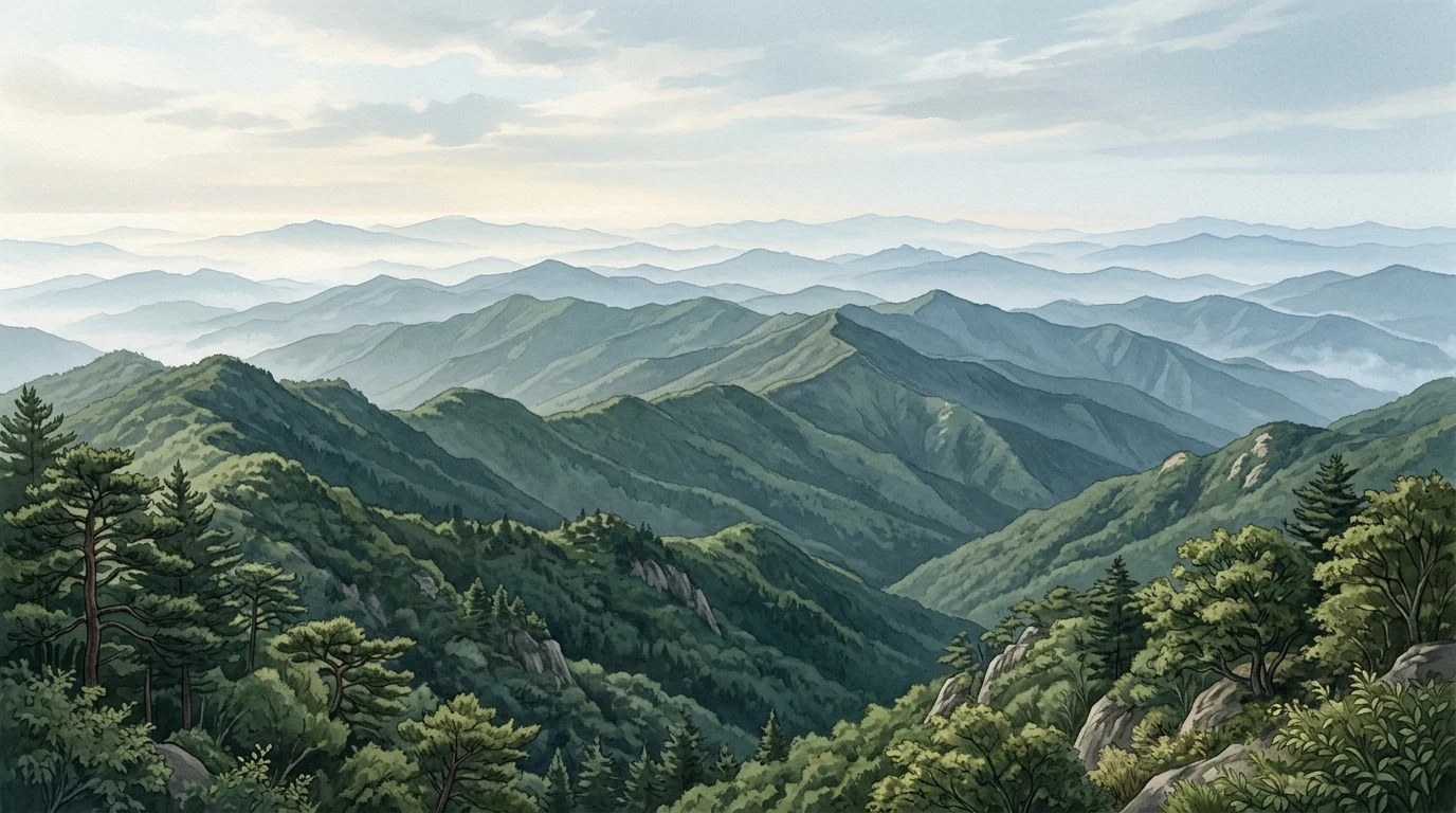
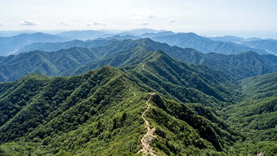
The Baekdudaegan mountain range is the largest ridge linking the Korean peninsula from Baekdusan (Mt. Baekdu) in the far north down to Cheonwangbong peak on Jirisan in the south. The whole thing runs about 1,400 km, and by natural terrain the South Korean portion stretches roughly 700 km from Cheonwangbong on Jirisan up to Hyangnobong peak in Goseong, Gangwon Province.
Here’s the key idea: the Baekdudaegan isn’t an administrative line or a geological classification. It’s one continuous ridge you can actually walk end to end on foot. It’s also the divide between Korea’s major rivers — rain that falls on one side of the ridge drains into a different river than rain landing on the other side. That’s why Koreans read this ridge not just as a hiking objective but as the skeleton of the land and the boundary of its waters.
One important caveat: the northernmost point civilians can legally thru-hike is Jinburyeong pass. Everything above it, around Hyangnobong, sits inside a controlled military zone (the Civilian Control Line area), so a regular thru-hike stops there. So when Koreans say “Baekdudaegan thru-hike,” they usually mean Jirisan to Jinburyeong (about 684 km) — a hardcore long-distance trek that takes roughly 40 to 50 days even moving steadily. It is not something a first-time visitor should take on in one go.
The Baekdudaegan Mountain Range at a Glance
| Item | Detail |
|---|---|
| Total length | About 1,400 km (roughly 700 km in South Korea) |
| South Korean endpoints | Cheonwangbong on Jirisan (1,915 m) in the south to Hyangnobong in Goseong, Gangwon |
| Northernmost civilian point | Jinburyeong pass (Hyangnobong above it is a controlled military zone) |
| Full thru-hike time | Jirisan to Jinburyeong, roughly 40 to 50 days (expedition level) |
| Legal basis | Act on the Protection of the Baekdudaegan, managed by the Korea Forest Service |
| Best approach for visitors | One section of a famous peak on the ridge, as a day trip or one overnight |
The figures above describe the natural terrain of the ridge. Closures and seasonal restrictions can change, so always check the Korea Forest Service and national park notices before you head out. For detailed routes and transport, see the individual mountain guides linked in the famous-peaks section below.
Sangyeongpyo and Sanjabunsuryeong, Korea’s Own Way of Reading Mountains
This is the part that I think lands most freshly for foreign readers. The Sangyeongpyo — a “table of mountain courses,” said to have been compiled in 1769 by the Joseon-era scholar Sin Gyeong-jun — organizes Korea’s ridges into one main range, one primary stem, and thirteen branch ridges. Think of it as a family tree of mountains. Its head branch is exactly the Baekdudaegan mountain range. Just as a family tree spreads from a main line into smaller branches, the Sangyeongpyo branches from the biggest ridge out to the smaller ones.
The principle underneath it all is sanjabunsuryeong — roughly, “mountains do not cross water, and water does not cross mountains.” In other words, the ridge is the dividing line between watercourses, and if you follow a mountain ridge you’ll never have to cross a river. It’s a traditional, river-basin-centered way of seeing geography. Open a map, trace the ridge between two big rivers, and the idea clicks into place.
The “mountain range” concept you learn in school today — like the Taebaek Mountains — works differently. That classification was drawn in the early 1900s by a Japanese geologist based on underground geological structure, so a ridge that’s actually broken on the map can get lumped into a single range, or one continuous ridge can appear split across several ranges. The Baekdudaegan, by contrast, follows which way the rainwater flows, which makes it one ridge you can genuinely walk in an unbroken line. Once you understand this contrast, you’ll read a map of Korea completely differently.
Editor’s tip
When you spot a ridge marked on a Korean hiking map or app, try to tell whether it’s a geological “mountain range” or a Baekdudaegan-style ridge or branch ridge. The main range and branch ridges never cross water, so when you plan a thru-route the trail actually stays connected. Foreign hiking apps tend to miss this context, so in Korea we’d recommend also using a local hiking map drawn around ridgelines.
The Famous Peaks Along the Baekdudaegan Mountain Range
Follow the Baekdudaegan ridge from north to south and you string together Korea’s signature peaks one after another. Each mountain’s detailed routes and transport live in its own guide, so here we’ll just thread them in ridge order.
- Hyangnobong (military-controlled section) down to Jinburyeong pass.
- Daecheongbong on Seoraksan (1,708 m).
- Durobong on Odaesan (1,422 m), continuing to Daegwallyeong.
- Janggunbong on Taebaeksan (1,567 m).
- Birobong on Sobaeksan (1,439 m), continuing to Jungnyeong 📍 pass.
- Cheonwangbong on Songnisan (1,058 m), continuing to Chupungnyeong 📍.
- Hyangjeokbong on Deogyusan (1,614 m), continuing to Yuksimnyeong.
- Cheonwangbong on Jirisan 📍 (1,915 m), the highest and southernmost point of South Korea’s Baekdudaegan.
Three of these peaks already have their own guides with routes, transport, and reservations: Seoraksan from Sokcho — Cable Car to Daecheongbong Peak, Sobaeksan Hiking — Shortest Route to Birobong Peak and the Azalea Ridge, and Jirisan Hiking — Trails and Access from Nogodan to Cheonwangbong.
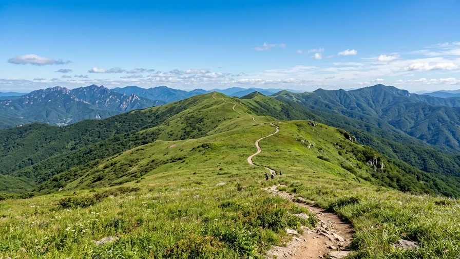
Daecheongbong is the summit of Seoraksan, and because the cable-car side around Gwongeumseong and the hiking trails are separate, it’s an easy mountain for foreign visitors to plan a route on. Sobaeksan’s Birobong, reached by climbing the ridge up from Jungnyeong pass, opens into a wide, treeless meadow-like ridge with views in every direction — it’s often picked as a section where you can taste that classic Baekdudaegan ridge feeling relatively safely. Jirisan’s Cheonwangbong is South Korea’s highest Baekdudaegan peak and its southernmost point, a symbolic summit of the whole ridge thru-hike, so many people reserve a shelter and take it on as a one-night traverse. All three have their own detailed route guides, so check those for course and transport.
Odaesan, Taebaeksan, Songnisan, and Deogyusan are all heavyweight peaks on the ridge too, but their traverse difficulty and accessibility vary a lot, so for a first Korean hike those three above are the lower-barrier options. For reference, Hallasan is a volcanic island peak on Jeju, Bukhansan belongs to the Hanbuk branch-ridge family, Gwanaksan to the Hannam branch-ridge family, and Naejangsan sits on the Honam branch ridge — none of these are on the Baekdudaegan itself, so don’t get them mixed up.
Why the Mountain Passes (Ryeong and Jae) Matter
You can’t talk about the Baekdudaegan without the passes. Jinburyeong 📍, Misiryeong, Hangyeryeong, Daegwallyeong, Jungnyeong, Ihwaryeong, Chupungnyeong, and Yuksimnyeong have linked east and west, and the southeast and central regions, since ancient times. Where the ridge blocked the way, these passes were the lowest saddle points people could climb over.
Today a road or tunnel runs through each of these passes, so for thru-hikers they double as the cut-off points that divide the ridge into sections and as the trailheads you can reach by public transit. Jungnyeong, for example, is widely used as the starting point for hiking the Sobaeksan ridge. So when you, as a foreign visitor, want to walk just one section, deciding “which pass do I climb up from and which pass do I come down to” is where the whole route design begins. For exact bus routes and frequency, search Naver Map or Google Maps for “[station name] to [pass name]” or “[mountain] visitor support center” — it’ll show live bus numbers and intervals, and the surest move is to screenshot that screen before you head out.
How Foreigners Can Actually Experience the Baekdudaegan Mountain Range
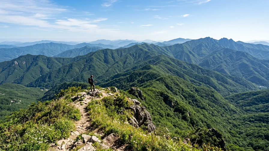
Honestly, the full Baekdudaegan thru-hike is expedition territory and just isn’t realistic for most travelers. You’d have to survive 40 to 50 days on the ridge with no resupply, and line up shelter bookings, fitness, and weather all at once. So the right way to approach the Baekdudaegan mountain range is “one section,” not “the whole thing.” Walk one section of a famous peak on the ridge as a day trip or single overnight, and you’ll have set foot on a real piece of that giant spine.
- If you want a day-trip taste of the ridge, the Sobaeksan section climbed from Jungnyeong pass has a relatively low barrier to entry (see the box below).
- If you’re after the satisfaction of reaching a summit, it works well to set your sights on one signature Baekdudaegan peak like Seoraksan’s Daecheongbong or Jirisan’s Cheonwangbong.
- If you want to properly experience a ridge traverse, the Jirisan traverse is the most iconic — a shelter reservation is required. Just know the fitness and scheduling demands are heavy, so think carefully before making it your first Korean hike.
If it’s your first time, start with this section
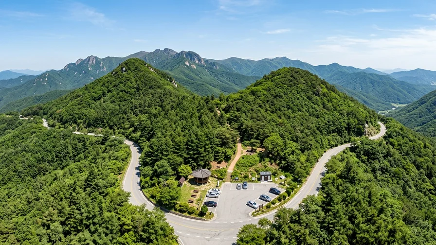
The Sobaeksan route from Jungnyeong pass is an easy starter. From the Jungnyeong visitor support center to Yeonhwabong peak it’s about 7 km and roughly 3 hours, and because it follows a paved observatory access road the grade is gentle and it’s hard to get lost — a safe first ridge walk. If you’re up for more, carry on along the ridge from Yeonhwabong to Birobong (1,439 m) for that wide, open meadow ridge. To reach Jungnyeong, take the local bus toward Jungnyeong Rest Area from Danyang Station (about 40 minutes, roughly hourly), or a taxi from Danyang Station (about 25 km). For full route and transport details, see the Sobaeksan hiking guide.
When to go. The open ridge views are best in late May to June, when fresh greenery and royal azaleas climb the slopes, and in mid-to-late October for the autumn colors. Winter snowscapes (January to February) are striking but bring strong wind and ice that sharply raise the difficulty and closures, so beginners should skip them. Conversely, high-elevation trails are often closed during the spring and fall wildfire-watch periods, so line up the season you want against the closure calendar.
Specific routes, trailheads, bus lines, and shelter-booking steps are all written up in each mountain’s guide, so read those and pick one. Across the board, remember that the ridge has almost no shops, drinking water, or toilets. The visitor support center at the entrance is often effectively your last flush toilet, and you’ll need to carry at least one liter of water per person up with you.
Good to Know: Protected Areas, Thru-Hiking, and Safety
The Baekdudaegan Protected Area is managed by the Korea Forest Service under the Act on the Protection of the Baekdudaegan (enacted in 2003, in force from 2005). It’s split into a ridge-centered core zone and a surrounding buffer zone, and for ecological conservation some sections are placed under a natural recovery-year system or closed to entry. So even if a map shows a trail, it may be blocked — always check the closed sections on Korea Forest Service and national park notices before any thru-hike or section hike.
In particular, Korean national parks often fully close summit and high-elevation trails during the spring (usually March to May) and fall (usually November to December) wildfire-watch periods. Plenty of foreign visitors don’t know about this rule and get turned around at the trailhead, so if you’re planning to hike during those windows, check the closures in advance on the Korea National Park Service website.
- Winter ridges carry a serious risk of strong wind and ice. You’ll need crampons, and some sections can be closed when iced over, so don’t push it.
- Shelters are booked through the national park reservation system (reservation.knps.or.kr). If you hold an Alien Registration Card, signing up and booking is fairly smooth; without one, the identity-verification step can block you. In that case, try right when bookings open or ask a Korea-based companion to book, and check the reservation system’s notices first since the procedure changes often.
- Resupply is impossible on the ridge. You have to carry your own water, trail snacks, headlamp, and spare clothes.
- Some sections with summit rock ridges or knife-edge crests are crossed by holding steel cables and railings, so pack gloves — even simple work gloves will do.
- If something goes wrong on the mountain, call 119 for rescue — interpretation is available for foreign languages. Reading out the number on the national point-number signs and mountain location markers posted along the trail lets rescuers pinpoint you fast, so note what these signs look like before you set off.
For more on the laws and the protected-area concept, see the official sources: the Korea Forest Service and the Act on the Protection of the Baekdudaegan at the Korea Law Information Center. For general background, see Wikipedia.
Frequently Asked Questions
Can foreigners thru-hike the Baekdudaegan mountain range?
In theory you can go from Jirisan to Jinburyeong, but it’s a 40-to-50-day expedition that just isn’t realistic for most travelers. Everything above Hyangnobong is a military zone, so even civilian thru-hiking is blocked there. We’d recommend walking one section as a day trip or single overnight.
What’s the difference between the Baekdudaegan and the Taebaek Mountains?
A “mountain range” like the Taebaek Mountains is a classification based on geological structure, so its ridges can look broken. The Baekdudaegan is one continuous ridge that divides the flow of rainwater and can actually be walked end to end on foot — that’s the difference.
Which section is best for a first-time visitor to Korea?
To taste the ridge feeling relatively safely, the Sobaeksan Birobong section climbed from Jungnyeong pass has a low barrier to entry. If you want a summit, aim for Seoraksan’s Daecheongbong or Jirisan’s Cheonwangbong, but check each mountain’s guide for the course and transport.
Where do I check closures before a hike?
You can check trail closures, wildfire-watch closures, and natural recovery-year sections on the Korea National Park Service website and Korea Forest Service notices. High-elevation closures are common during the spring and fall wildfire-watch periods, so always check before you set out.
Stare at a map for a while and Korea’s mountains look like scattered, separate dots — but once you know the Baekdudaegan mountain range, those dots connect into one ridge. You don’t have to walk all of it. Pick one section you like, set your start and finish points, check the closures and weather on the Korea National Park Service website before you go, and just walk it once. If you want the big picture of where to start with Korea’s famous peaks, I’d suggest grabbing the flow in our Hiking Mountains in Korea, How to Pick Your First Peak. Fold the map away for a moment and just follow the ridge — it really does flow.
Related reads in this series
- Hiking Mountains in Korea, How to Pick Your First Peak
- Bukhansan by Subway from Seoul — Baegundae Route and How to Get There
- Seoraksan from Sokcho — Cable Car to Daecheongbong Peak
- National Park Trekking in Korea, Reservations, Closures and Shelters
- Reach Korean Mountains by Public Transport, No Car Needed
- Hot Springs After Hiking — Recovery Spots Near Korea's Peaks
- Jirisan Hiking — Trails and Access from Nogodan to Cheonwangbong
- Hallasan Hiking to Baengnokdam via Seongpanak and Gwaneumsa
- Naejangsan Autumn Hiking by Train, Seoraebong and Sinseonbong
- Sobaeksan Hiking — Shortest Route to Birobong Peak and the Azalea Ridge